
Geofencing 101: A Beginner’s Guide to Implementing Location-Based Services
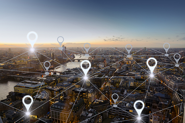
Geofencing is a location-based technology that allows developers to define virtual boundaries on a map and trigger notifications or other actions when a user enters or exits the defined area. There are two primary methods of implementing geofencing, each with its own set of benefits and challenges.
The first method of geofencing involves creating virtual boundaries on a map and monitoring user location data to determine when a user enters or exits the defined area. Service providers such as Google Maps Platform, Mapbox, Geofence.io, Radar.io, and Esri offer APIs for implementing this method of geofencing. Developers can use these APIs to create and manage virtual boundaries, monitor user location data, and trigger notifications or other actions based on user movements within the defined area.
The second method of geofencing involves maintaining a list of named areas, such as cities, states, or countries, that users are permitted to access. Developers can collect user location data using a location-based API or service and compare it to the list of approved named areas. If the user is located within an approved area, no action is taken. If the user is located outside of an approved area, the desired action is triggered, such as sending a notification or blocking access to certain features.
To implement the second method of geofencing, developers should follow a series of general steps. First, define the named areas that users are permitted to access. Next, collect user location data using a location-based API or service. Compare the user’s location data with the list of approved named areas and trigger the desired action if the user is located outside of an approved area. Implement the geofencing logic using a programming language or geofencing library or framework. Test and refine the geofencing logic as needed, and monitor and maintain the system once it is in production.
When choosing between the two methods of geofencing, developers should consider factors such as the complexity of the project, the accuracy of location data, and the specific needs of their users. The first method may be more suitable for complex projects that require precise location tracking and notifications triggered by specific areas on a map. The second method may be more appropriate for projects with a limited number of named areas and a focus on restricting access to certain features or content.
In conclusion, geofencing is a powerful technology that offers many benefits to developers and users alike. By implementing geofencing using one of the two methods outlined above, developers can create location-based applications and services that are more accurate, efficient, and user-friendly. Whether you choose to create virtual boundaries on a map or maintain a list of named areas, geofencing is a technology that can enhance the functionality and user experience of your application or service.

Sparrow ERP Software

